GIS applications
Risk and Vulnerability Atlas
SARVA is home to a growing number of themed based atlases that investigate the spatial characteristics of risks and exposure.
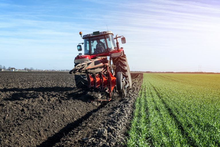
The 2017 Agriculture Census is a country-wide census of commercial agriculture, which provides financial performance data of all farmers registered for value-added tax (VAT) and the production performance of all farmers who responded to the census. The census includes variables such as, inter alia, the type of farm ownership, agricultural income and expenditure, production land, agricultural products (i.e. crops and animals), agricultural losses, employees’ remuneration, and some demographic information about farm operators.

This dataset contains daily estimates (2019-2020) of PM2.5 in 1 466 cities across Africa.

The BioEnergy Atlas is an initiative funded by the Department of Science and Innovation and implimented by the South African Environmental Observation Network (SAEON). This interactive dashboard presents the finding of the feasibility analyses from BEA 1.0 with the aim of providing regional contextual information about which BioEnergy Options are feasible within the each region.

The South African Climate Risk Tool was designed using downscaled climate projections from NASA NEX-GDDP-CMIP6 dataset, bias-corrected and statistically downscaled to ~25 km resolution. It is a local decision support tool that provides spatial information on climate projectionsat local municipality level.

An environmental risk and vulnerability profiler based on the 2018 National Biodiversity Assessment (NBA) data which was conducted by the South African National Biodiversity Institute (SANBI).
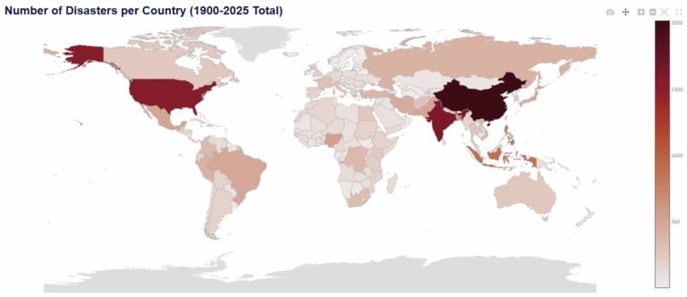
The Emergency Events Database (EM-DAT) data, provided by the Centre for Research on the Epidemiology of Disasters (CRED), was used to generate the map layers included in the atlas (https://www.emdat.be). The atlas can be filtered to South Africa, displaying the number of geophysical, meteorological, hydrological, and climatological natural disaster events across the country from 1952.

The District Health Barometer provides comprehensive statistical and analytical
resources for health performance at primary healthcare level across all nine
provinces. This authoritative dashboard is used by the National Department of
Health for strategy development, performance monitoring, and evidence-based planning. Access their official health data reporting covering 52 districts in 9 provinces here.

The South African National Climate Change Information System (NCCIS) contains climate related data and information from a range of sources for the purposes of providing insights into the country’s progress in responding to climate change and achieving national and international goals, commitments and targets.