As the world faces an unprecedented rise in natural disasters, there is a dire need for accurate and comprehensive data to manage and mitigate their impact effectively. Like the rest of the world, South Africa is not spared from the calamities such as floods, storms, droughts, wildfires, and landslides, which are becoming more frequent and severe. Urbanisation, inadequate land-use planning, and population growth have further intensified the effects of these disasters (Davis-Reddy & Hilgert, 2021). For instance, the floods that wreaked havoc in KwaZulu-Natal in April 2022 (South African Government, 2022) caused extensive environmental, economic, and infrastructural damage and loss of lives. As recently as June 27, 2023, a tornado accompanied by torrential rains brought massive destruction in the Inanda District of KwaZulu-Natal (Aljazeera, 2023).
This blog post, titled “Action Needed: Bridging the data gap in South Africa’s natural hazard tools and databases“, spotlights the urgent need for data producers to step up their game in addressing the glaring information gaps. South Africa is in need of concerted efforts to bridge the data gap that currently exists in its natural hazard tools and databases. While various tools and databases are available, there is a pressing need to enhance data availability, accessibility, and quality to effectively monitor, analyse, and mitigate the risks associated with natural hazards.
This blog delves into several natural hazard tools and databases covering South Africa, focusing on hydrological, meteorological, geophysical and climatological disasters, specifically floods, storms, droughts, earthquakes and wildfires. The availability and efficacy of tools, databases, and applications tailored for monitoring, predicting, and assessing these predominant disasters are critical in strategising effective responses. We compare 18 hazard databases categorised based on their spatial coverage, including national, provincial, district, and local municipality levels. However, the question remains: using such tools – Is the existing data sufficient? The gravity and complexity of natural disasters call for coordinated efforts by data producers to consistently enhance and update these tools. This is not just about having databases; it’s about ensuring they are comprehensive, up-to-date, and reliable, enabling informed decisions that safeguard.
Further information regarding the diverse hazard categories and their corresponding events can be conveniently accessed through interactive engagement with the set of clickable pictures provided below. By clicking on the respective icons, you will gain access to in-depth details pertaining to each hazard category and its associated events.
Natural disasters pose significant challenges to environmental stability, economic progress, and social inclusivity. Their occurrence can significantly impede the achievement of the goals and objectives outlined by the SENDAI Framework and the Sustainable Development Goals (SDGs). The SENDAI Framework, adopted in 2015, emphasizes the importance of disaster risk reduction and resilience-building to enhance societal well-being and sustainable development. The SDGs, a set of 17 global goals adopted by the United Nations in 2015, encompass a broad range of objectives aimed at addressing global challenges and promoting sustainable development. Among these goals, 25 targets from 10 SDGs are directly related to disaster risk reduction, as highlighted by the United Nations Office for Disaster Risk Reduction (UNDRR). These targets emphasize the integration of disaster risk reduction into various sectors, including poverty eradication, health, education, infrastructure, and climate action and policy frameworks, recognising the interconnectedness between disasters and sustainable development.
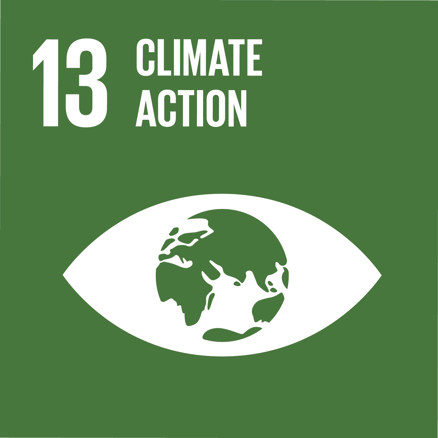
The SDGs related to disaster reduction cover a broad spectrum of objectives, encompassing economic, social, and environmental dimensions. For example, SDG 1 aims to eradicate poverty, while SDG 11 focuses on creating resilient cities and communities. SDG 13 addresses climate action and the mitigation of climate-related hazards, which are often associated with natural disasters. By considering disaster risk reduction within these goals, efforts are made to strengthen societies, protect vulnerable populations, and promote sustainable development.
SDGs related to disaster risk
Click on the SDG logos to view each of the targets related to disaster risk reduction.
In conclusion, the occurrence of natural disasters poses significant challenges to achieving the goals and objectives outlined by the SDGs and the SENDAI Framework. By recognising the interdependencies between disaster risk reduction and sustainable development, integrating disaster risk reduction into the development agenda, societies can better prepare for, mitigate and foster sustainable development outcomes across economic, social, and environmental spheres.
The research methodology encompassed a rigorous exploration of online resources, starting with established database platforms widely recognised in the field of disaster management. These tools were carefully selected to ensure the acquisition of reliable and up-to-date information pertaining to natural hazards. The following databases were accessed and thoroughly explored as part of the literature review process:
Following the exploration of established databases, our methodology progressed to include keyword searches to identify additional resources tailored to South Africa. The keyword combinations utilised were “South African Natural Disasters“, “South African Natural Disaster Tools“, “South African Wildfire Tools“, “South African Flood Tools,” “South African Drought Tools,” “South African Natural Disaster Database,” and “South African Natural Disaster Record.” The search was limited to reports, databases and tools (dashboards) published in the English language. These search terms were selected to ensure the obtained outputs were specific to South Africa.The identified tools included:
These tools, namely the NDMC’s daily fire index early warning system and the disaster atlas application, the CSIR Greenbook, ThinkHazard!, SANSA’s satellite data services, and the Local Government Climate Change Support Program, contribute to the understanding, assessment, and management of natural hazards and disaster risks in South Africa. These resources play a crucial role in facilitating hazard assessment and management. The aim of these tools is to provide resources and support to decision-makers, planners, and communities in enhancing their preparedness and resilience in the face of natural disasters. Furthermore, it is crucial to incorporate the aforementioned natural hazard tools and databases into policy frameworks, as they possess the potential and capacity to consolidate a wealth of risk data and information. This integration will facilitate comprehensive risk assessment, resilience planning, and the realisation of the SDGs, thus serving as a valuable resource in achieving these goals.
The findings of this review reveal a scarcity of accessible tools for natural hazard detection, warnings, and mapping in South Africa. The review indicates a lack of readily available tools and systems that can effectively detect and monitor natural hazards, issue timely warnings, and facilitate accurate mapping of hazard-prone areas within the country. The current landscape of natural disaster tools and applications primarily prioritises broader-scale monitoring at the provincial, national, and continental levels, neglecting the specific needs of local municipalities and district municipalities. Among the 17 databases and tools identified in this review, only three (CSIR Greenbook, NDMC daily fire warning tool and AFIS) are specifically designed to cater to the requirements of the local municipal level. Out of the three tools identified for the local municipal level, two of them specifically concentrate on fire hazards. Additionally, four tools each are dedicated to the district municipality and provincial levels. However, all 17 tools and databases provide a national overview of natural hazards.
Among these tools, the CSIR Greenbook is the most renowned, it provides comprehensive guidance and information on various hazards, offering practical insights into risk assessment, mitigation strategies, and emergency response planning at the local level. The NDMC daily fire warning tool is specifically designed for local municipalities to monitor and manage fire-related risks. It is an important tool as it provides timely and localised information about fire dangers, allowing municipalities to issue appropriate warnings and implement preventive measures to minimise fire incidents and their associated impacts. Furthermore, the AFIS, aids local municipalities in monitoring and analysing fires, more specifically wildfires. It offers real-time data and analysis on active fires, fire patterns and behaviour and fire danger.
The disparity in the distribution of tools highlights the limited availability of resources tailored to the localised needs of municipalities. While the identified tools offer valuable insights into the broader national perspective of natural hazards, there is a pressing need to develop more tools that address the unique challenges and vulnerabilities faced by local municipalities and district municipalities. Tools that focus on the local municipal level play a vital role in enabling effective disaster management and response at the grassroots level. They provide specific information on hazards and risks relevant to the local context, allowing municipalities to make informed decisions and take proactive measures to protect their communities. By having access to tools that cater to their specific needs, local municipalities can better assess hazards, formulate tailored risk reduction strategies, and enhance their emergency preparedness and response capabilities.
To bridge the gap between broader-scale monitoring and localised needs, this review emphasises the need for the development of tools and applications that specifically cater to the local municipality and district municipality levels should be prioritised. These tools should provide comprehensive and up-to-date information on hazards, risk assessments, early warning systems, and mitigation strategies, empowering municipalities to effectively manage and mitigate the impacts of natural disasters within their jurisdictions, ultimately leading to more effective disaster risk reduction and response efforts throughout the nation. And in so doing, enhancing South Africa’s preparedness, response, and management capabilities for natural disasters.
The literature review revealed the availability of various tools for assessing and managing disaster risks at different spatial extents. The following tools were identified for specific spatial scales:
In conclusion, the research findings highlight significant efforts and extensive coverage in monitoring and evaluating disaster risks, largely attributed to the availability of international organisations that provide global perspectives on disasters. However, it is crucial to acknowledge that the effective monitoring and mitigation of localised disaster events primarily falls under the responsibility of South African institutions. Therefore, there is a pressing need for increased investment in the monitoring and evaluation of disaster risks at the local level by South African companies and organisations.
These local entities are well-positioned and at the forefront of events that occur within the country. They possess valuable insights into the specific challenges, vulnerabilities, and risk factors faced by local communities, making them the most equipped to effectively address and respond to localised disaster risks. By allocating resources towards developing and implementing localised monitoring and evaluation strategies, South African organisations can enhance their capacity to detect, assess, and mitigate the impacts of disasters at the local level.
Investing in localised disaster risk monitoring and evaluation is vital for strengthening the resilience and preparedness of communities across South Africa. By leveraging their knowledge of the local context and collaborating with relevant stakeholders, these organisations can develop tailored strategies and interventions to mitigate risks, enhance early warning systems, and improve response and recovery efforts. This localised approach will contribute to more effective disaster risk management, ultimately reducing the negative impacts of disasters on lives, livelihoods, and infrastructure.
In summary, while significant efforts and global coverage exist in the monitoring and evaluation of disaster risks, the responsibility for effective local-level monitoring and mitigation lies with South African institutions. By prioritising investments in localised disaster risk monitoring and evaluation, these organisations can leverage their local expertise to address the unique challenges faced within the country and enhance resilience at the community level.

Disasters blog accessible here(https://sarva.saeon.ac.za/disasters/), provides an overview of South African disasters. This blog typically provides information, analysis, and updates about various types of disasters, including natural disasters (droughts, floods, major fires, tornadoes, major oil spills and even earthquakes) and human-made disasters (such as industrial accidents)