")
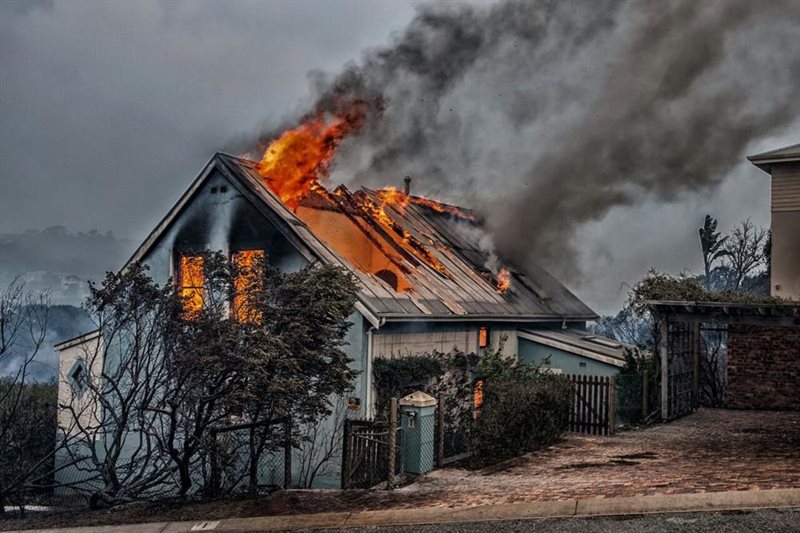
Fire Information for Resource Management System (FIRMS)
This application provides active fire data for near-real time monitoring and applications. FIRMS distributes Near Real-Time (NRT) active fire data from the Moderate Resolution Imaging Spectroradiometer (MODIS) aboard the Aqua and Terra satellites, and the Visible Infrared Imaging Radiometer Suite (VIIRS) aboard S-NPP and NOAA 20.

Advanced Fire Information System (AFIS)
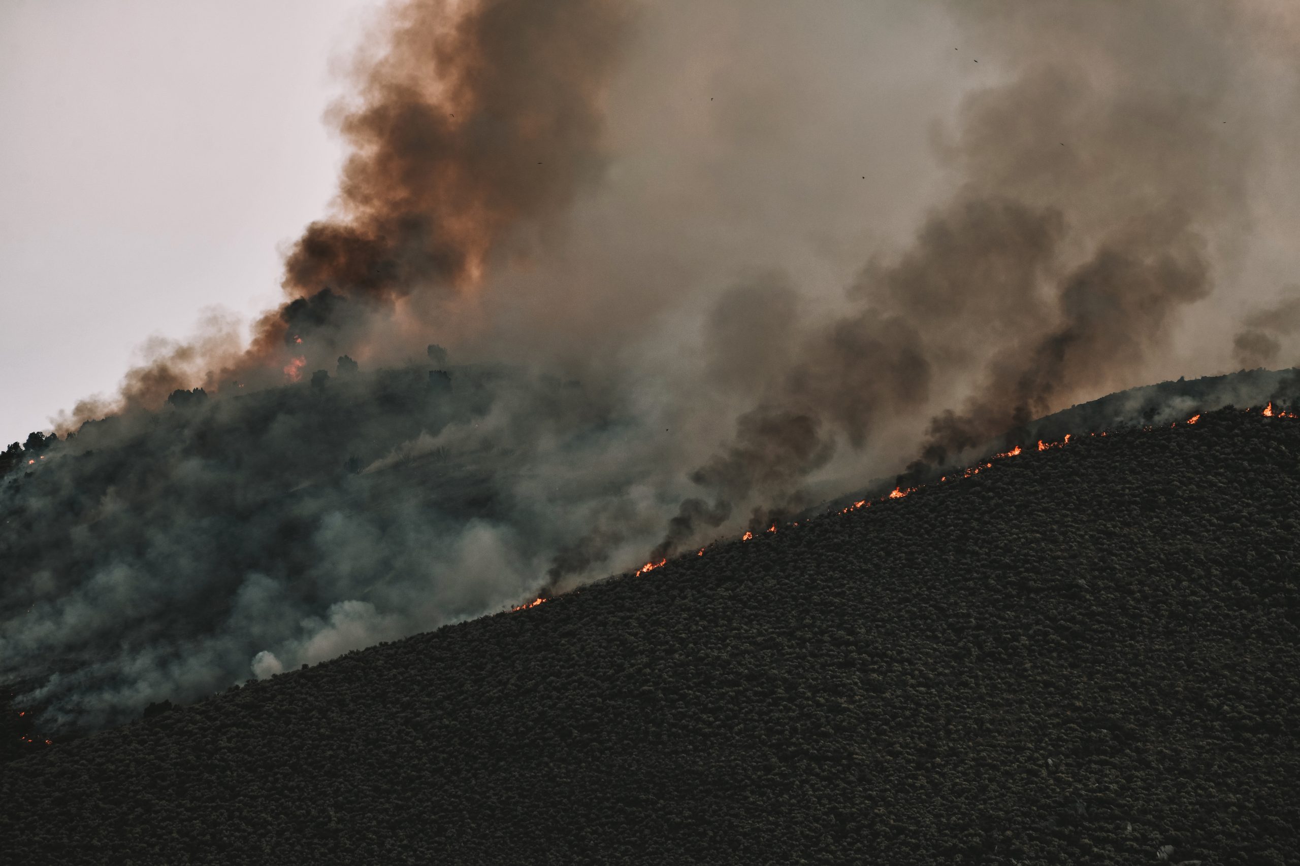
The Advanced Fire Information System (AFIS) is a satellite-based fire information tool
that provides near real time fire information to users across the globe. AFIS makes use
of Rapid Response data from the Land, Atmosphere Near real-time Capability for EOS
(LANCE) system operated by NASA's Earth Science Data and Information System
(ESDIS).

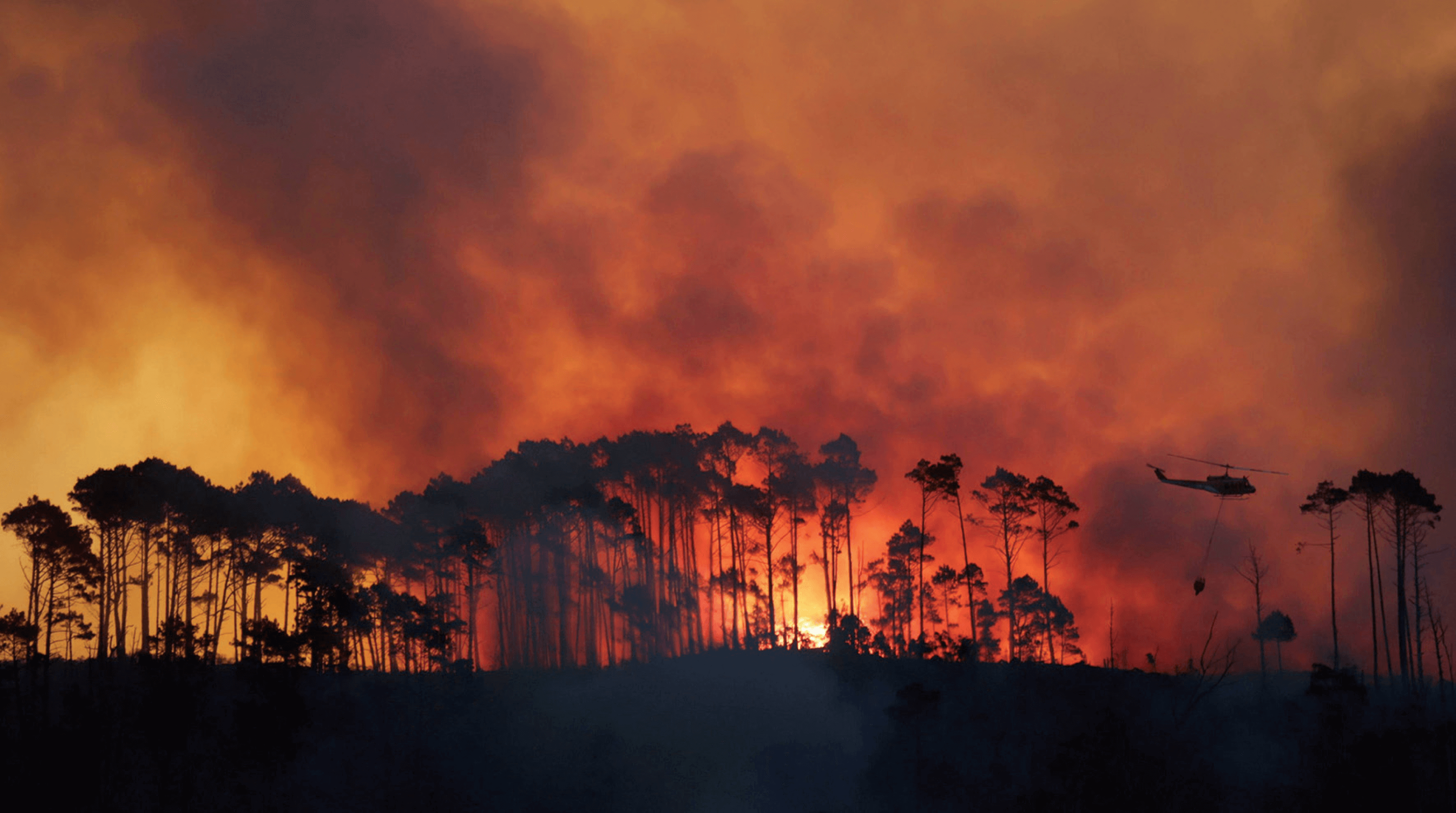
Advanced Fire Information System (AFIS)
This platform utilises both NASA's MODIS and VIIRS data produced by FIRMS or their active fire data product. This application provides users with spatial data information on fires and other global risk hazards, allowing users to visualise, download or extract data on past hazardous events.
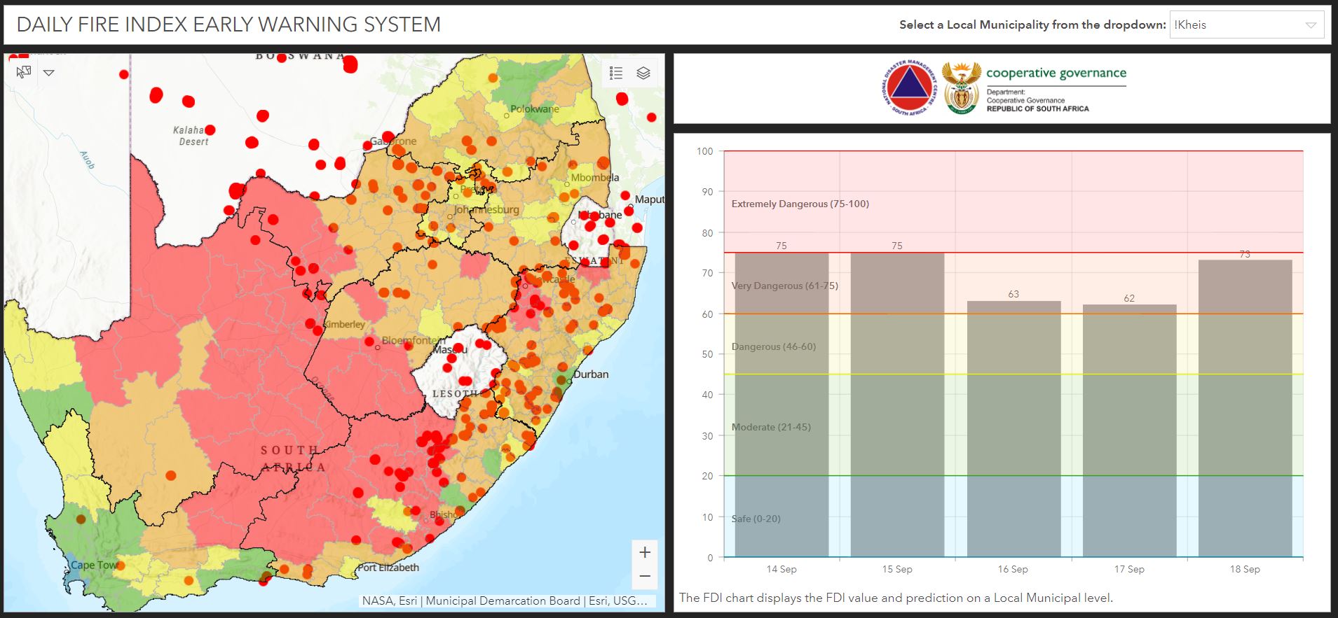
National Disaster Management Center - Fire Early Warning Tool
The tool developed by the National Disaster Management Center (NDMC) offers a daily fire warning index computed through the utilisation of MODIS data. The NDMC is the organisation mandated to provide disaster data as well as resources for the country.This application furnishes users with a fire danger index (FDI) value and local municipal-level predictions. The data is visually represented on a chart and can be filtered to display information pertinent to the specific local municipality of interest.