Climate change

This review is aimed at examining  climate change for South Africa & Africa, coupled with  plausible risks and vulnerabilities associated with changes in rainfall and temperature, under high and low socio-economic pathway (SSP) mitigation scenarios.

Contents

Share this resource:

Last updated: September 2022 | Authors: Caroline Mfopa & Claire Davis-Reddy

The South African climate

South Africa is located on the southern tip of Africa, between latitudes 22° and 35°S, and longitudes 16° and 33°E and is bordered by the Atlantic Ocean on the west, with the Indian Ocean on the south and east. South Africa encompasses a coastline of 2 798 km and covers a surface area of 1 219 602 km², making South Africa the 25th largest country in the world (Tyson & Preston-Whyte, 1996). The surface area can be divided into an interior plateau and the land between the plateau and the coast. The interior plateau is a vast, almost flat area with an altitude of between 1 000 m and 2 100 m. The plateau is surrounded by the Great Escarpment which forms the boundary between the interior and coastal areas (Schulze, 2008). 

The typical climate of South Africa is heavily influenced by four major components (Tyson & Preston-Whyte, 1996). The subcontinent’s position with regard to the primary circulation patterns of the southern hemisphere (quasi stationary high-pressure systems)(Tyson & Preston-Whyte, 1996). The movement on the inter-tropical convergence zone (ITCZ)  which influences the timing and the intensity of rainfall; the complex regional topography ranging from sea level to a plateau at 1 250 m, and mountains exceeding 3 000 m; the influence of the warm Indian ocean on the east coast and the cold Atlantic ocean on the west coast which results in higher and lower rainfall (Tyson & Preston-Whyte, 1996). South Africa has a generally temperate climate, due to its subtropical location, the moderating effect of the Atlantic and Indian Oceans, and the altitude of the interior plateau (Tyson & Preston-Whyte, 2000). Due to this varied topography and oceanic influence, a great variety of climatic zones exist, ranging from the dry north-western to the wet eastern regions of the country. The warm Agulhas current causes the eastern coastal areas to have a warm and humid climate, whilst the cold Benguela current along the west coast contributes to the arid climate of this region(Tyson & Preston-Whyte, 2000). 


Climate change

Carbon-dioxide (CO2) emissions are the main contributor of global climate change. It is commonly acknowledged that, in order to avert the worst effects of climate change, the world must cut emissions as soon as possible, limiting warming to 1.5°C for manageable scenarios, at any degree higher than that, the impacts will be largely irreversible. 

Global warming refers only to the overall warming of the Earth, based on average increases in temperature over the entire land and ocean surface. Climate change is more than simply an increase in global temperatures; it encompasses changes in regional climate characteristics, including temperature, humidity, rainfall, wind, and extreme weather events, which have adverse economic and social impact.

Climate change refers to a change in the average weather experienced in a particular region or location. The change may occur over periods ranging from decades to millennia. It may affect one or more seasons (e.g. summer, winter or the whole year) and involves changes in one or more aspects of the weather e.g. rainfall, temperature or winds. Its causes may be natural (e.g. due to periodic changes in the earth’s orbit, volcanoes and solar variability) or attributable to human (anthropogenic) activities e.g. increasing emissions of greenhouse gases such as CO2 and CH4, land use change and/or emissions of aerosols. However, ‘Climate change’ often refers to changes due only to anthropogenic causes. 

Future model projections

Climate change is already affecting every inhabited area across the globe, with human influence contributing to many observed changes in weather and climate extremes. The tools below take us through future  projected climate change scenarios across  South Africa. This story map is based on data from the Inter-governmental panel on climate change (IPCC), assessment report six (AR6).

Climate change story map (Click image below to access story).

Reports & Tools

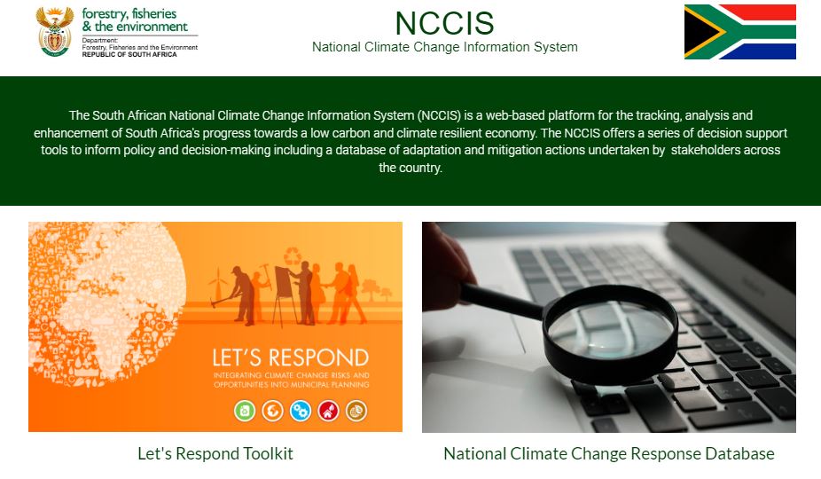
National Climate Change Information System (NCCIS)

National climate risk and vulnerability (CRV) assessment framework, 2020- Department of forestry fisheries and the environment

In South Africa, there is no standard approach and there is also lack of consensus regarding the appropriate frameworks and best methodologies for assessing vulnerability. This framework, therefore, provides a holistic focus on the full spectrum of adaptation measures, plans and strategies thus constituting a new approach to vulnerability assessments.

Draft framework for sectoral emission targets, 2021- Department of forestry, fisheries and the environment

The Department of Forestry, Fisheries and the Environment (DFFE) is in the process of developing the climate mitigation system for South Africa, which seeks to drive down greenhouse gas emissions from the economy. One of the instruments that is to be included in this system is Sectoral Emission Targets (SETs) (previously known as Desired Emission Reduction Outcomes in the National Climate Change Response Policy). SETs are either quantitative or qualitative greenhouse gas emission targets or aspirations assigned to an emitting sector or sub-sector, over a defined time period. SETs will be defined and allocated as soon as the Climate Change Bill becomes law.

Methodological guidelines for quantification of greenhouse gas (GHG) emissions, 2022- Department of forestry fisheries and the environment

The purpose of the methodological guidelines is to provide additional guidance and commentary to assist data providers in estimating greenhouse gas (GHG) emissions for reporting on the GHG reporting module of the National Atmospheric Emission Inventory System (NAEIS).

National Climate Change Response White Paper

To monitor the success of responses to climate change, and to replicate the ones that have worked well, we need to measure their cost, outcome and impact. To this end, South Africa will, within two years of the publication of this policy, design and publish a draft Climate Change Response Monitoring and Evaluation System.

Climate risk country profile- World Bank

Climate change is a major risk to good development outcomes, and the World Bank Group is committed to playing an important role in helping countries such as South Africa to integrate climate action into their core development agendas.

Overall key messages for Africa

  • Africa has contributed the least to greenhouse gas emissions, yet key development sectors have  already experienced widespread loss and damage attributable to anthropogenic climate change,  including biodiversity loss, water shortages, reduced food production, loss of lives and reduced economic growth.
 
  • At between 1.5°C and 2°C global warming, assuming localised and incremental adaptation impacts are projected to become widespread and severe for reduced food production, reduced economic growth, increased inequality and poverty, biodiversity loss, increased human morbidity and mortality  (high confidence). Limiting global warming to 1.5°C is expected to substantially reduce damages to African economies and ecosystems (high confidence).
 
  • Exposure and vulnerability to climate change in Africa are multi-dimensional with socioeconomic, political and environmental factors intersecting (very high confidence). Africans are disproportionately employed in climate-exposed sectors: 55–62% of the sub-Saharan workforce employed is in agriculture and 95% of cropland rainfed. In rural Africa, poor and female-headed households face greater livelihood risks  from climate hazards. In urban areas, growing informal settlements without basic services increases the vulnerability of large populations to climate hazards, especially women, children and the elderly.
 
  •  Climate-related research in Africa faces severe data constraints, as well as inequities in funding and  research leadership that reduce adaptive capacity (very high confidence). Many countries lack regular reporting weather stations, and data access is often limited. 


Databases

The Intergovernmental Panel on Climate Change

The IPCC prepares comprehensive Assessment Reports about the state of scientific, technical and socio-economic knowledge on climate change, its impacts and future risks, and options for reducing the rate at which climate change is taking place.

National Disaster Management Centre

The mandate for disaster risk management in South Africa is the responsibility of the National Disaster Management Centre (NDMC), whose objective is to coordinate and promote integrated disaster 3 management at all levels of government, national, provincial and local municipalities as well as with other role players.​

South Africa Weather Service

The South Africa Weather Service (SAWS), is the legally mandated institution, as per the Weather Service Act (RSA, 2001), responsible for weather and climate forecasting and the issuing of severe weather related alerts in South Africa. SAWS also produces maintains the CAELUM weather events database – a description of extreme weather events. ​

Bibliography

Tyson, P., Garstang, M. and Swap, R. 1996, “Large-scale recirculation of air over southern Africa”, Journal of Applied  Meteorology, vol. 35, no. 12, pp. 2218-2236. 

Tyson, P.D. and Preston-Whyte, R.A. 2000, The Weather and Climate of southern Africa, Oxford University Press. 

Schulze, R. 2008, South African atlas of Climatology and Agrohydrology, Water Research Commission.