Spatial Data
Supporting Datasets
View and download datasets not published in SARVA but openly available through other repositories or tools
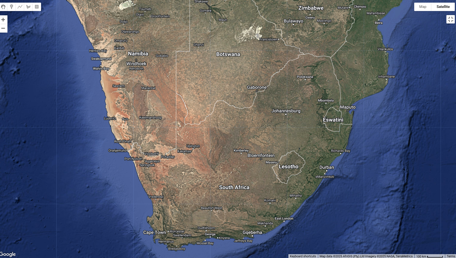
A collection of datasets that cover South Africa administrative levels that includes local municipality, district, and ward boundaries as well major towns.
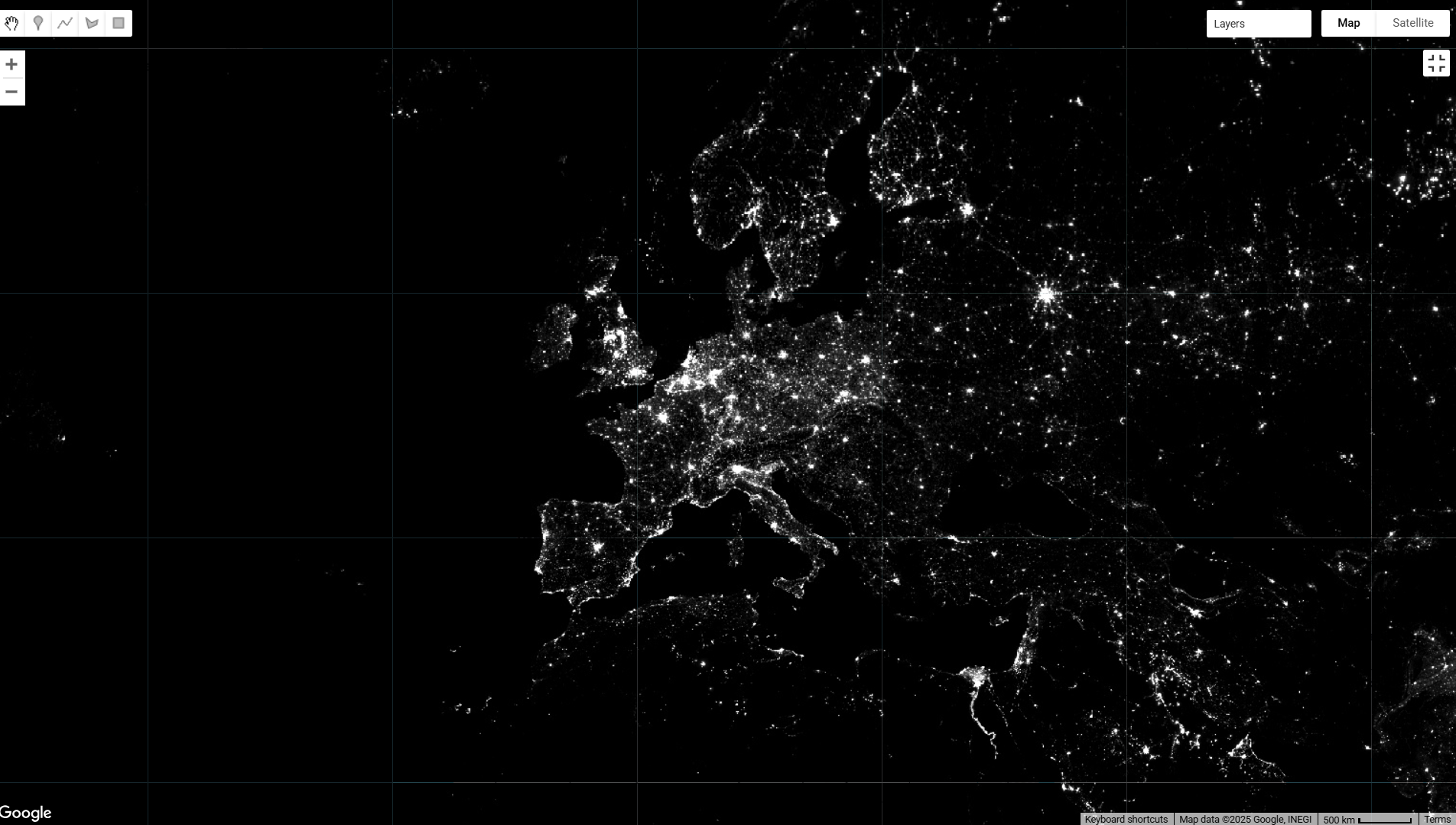
Nighttime Light Intensity is a dataset that reflects economic activity by measuring the intensity of artificial lights at night. Access it here: NOAA DMSP-OLS Calibrated Lights V4
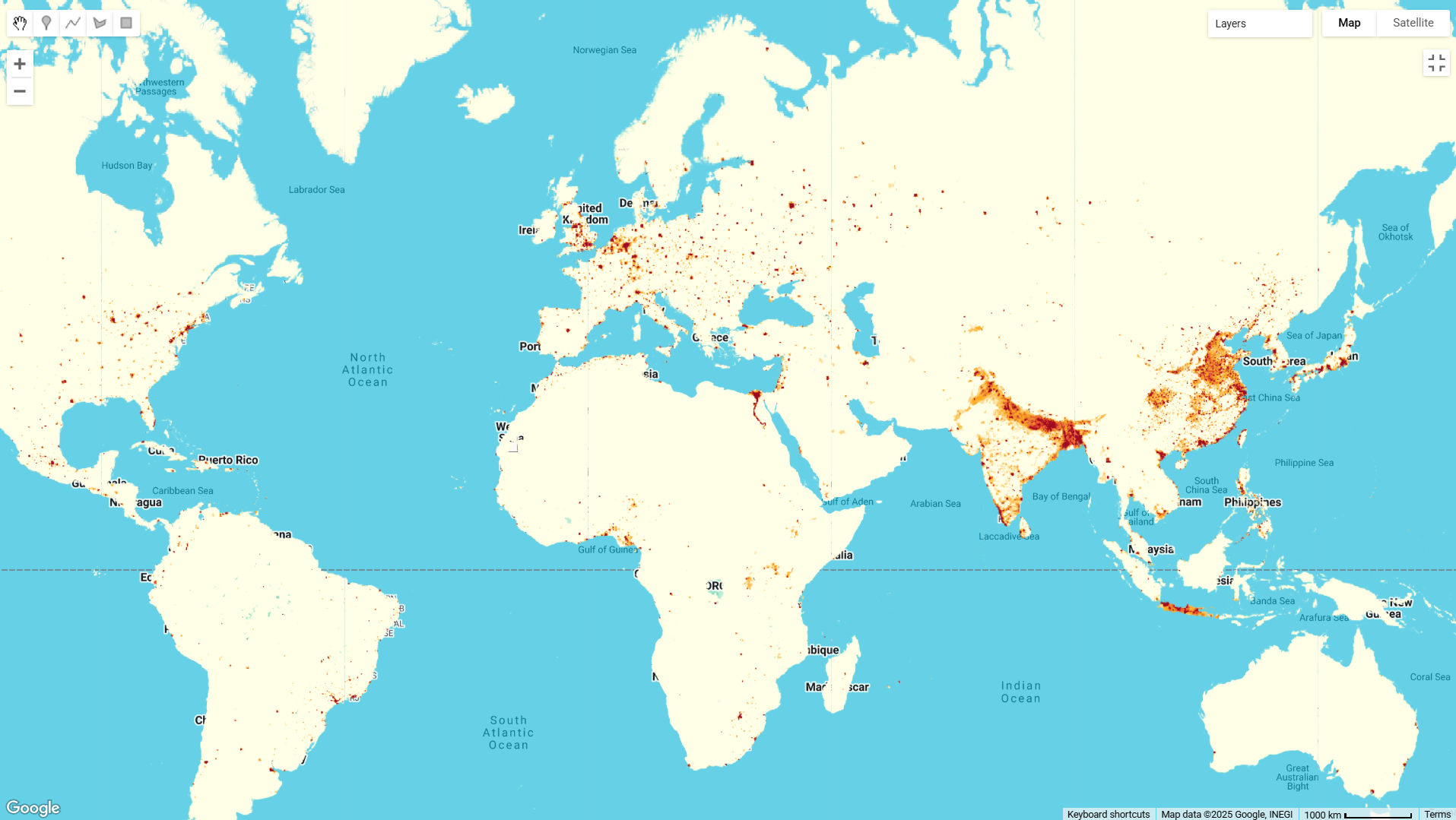
Population Density provides mean, maximum, and minimum population density within a 5km radius.
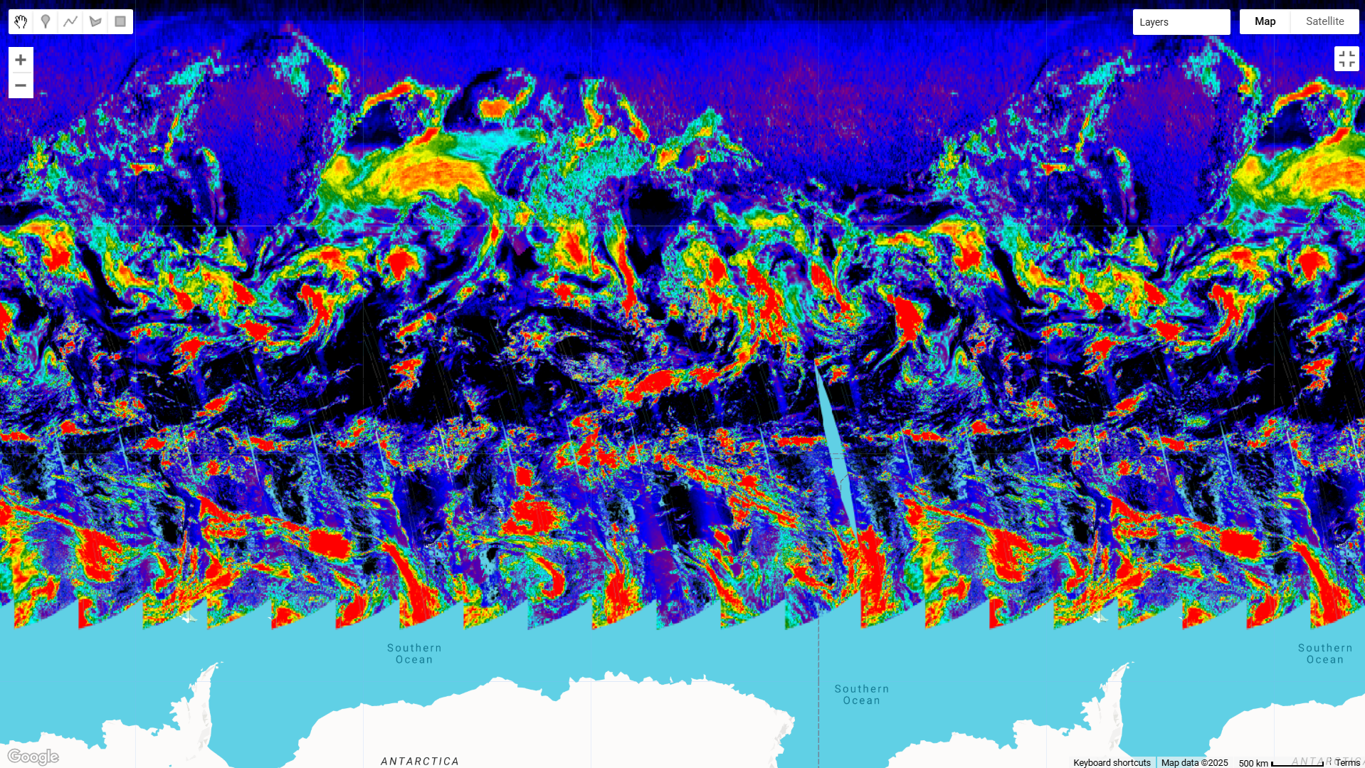
Data from Sentinel-5P collections: Data from Sentinel-5P collections: ‘L3_NO2’, ‘L3_O3’, ‘L3_CO’, ‘L3_HCHO’, ‘L3_AER_AI’, ‘L3_SO2’…
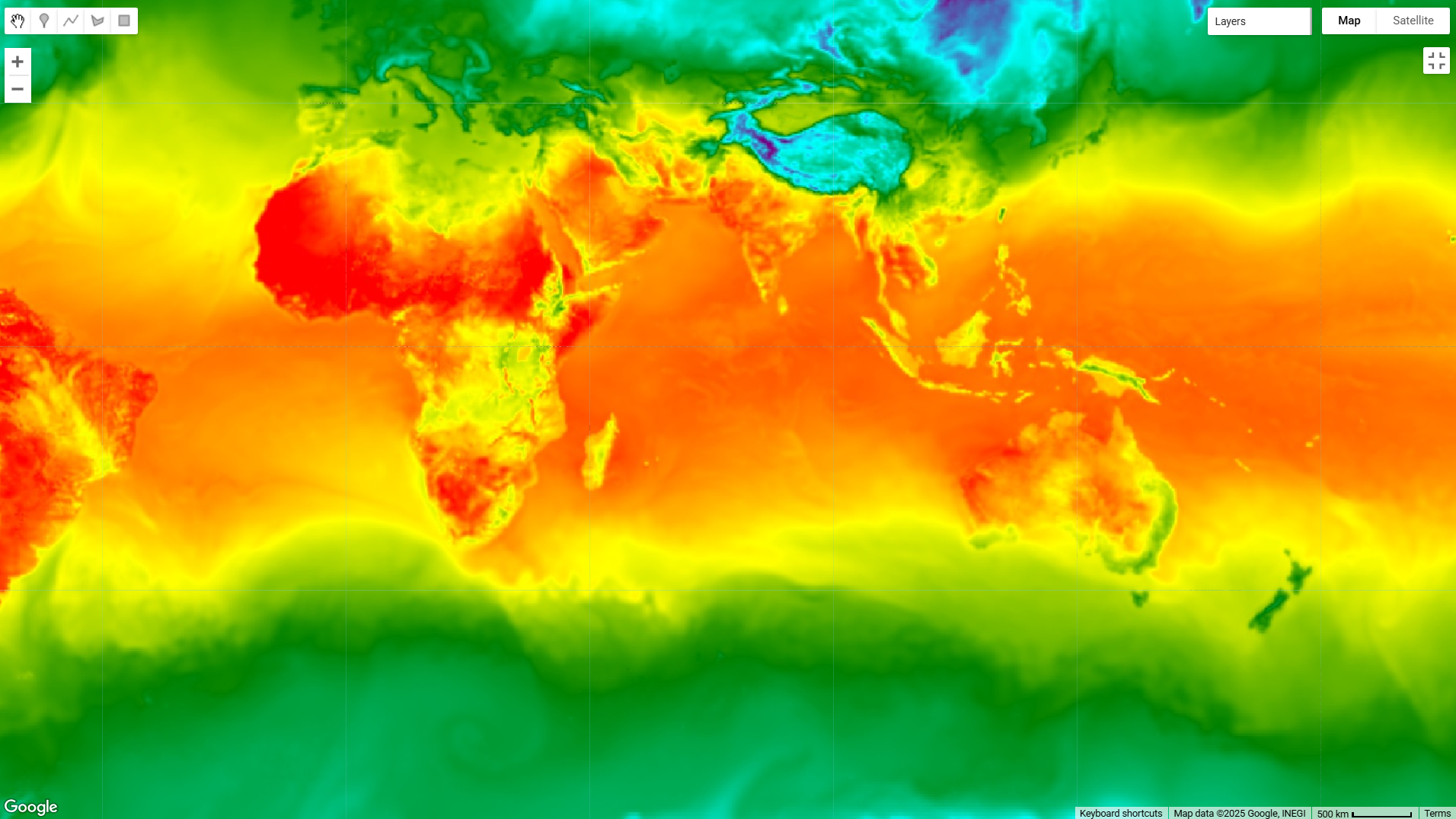
Daily weather data from the Global Forecasting System (GFS) dataset