Supporting Data
Administrative Boundaries
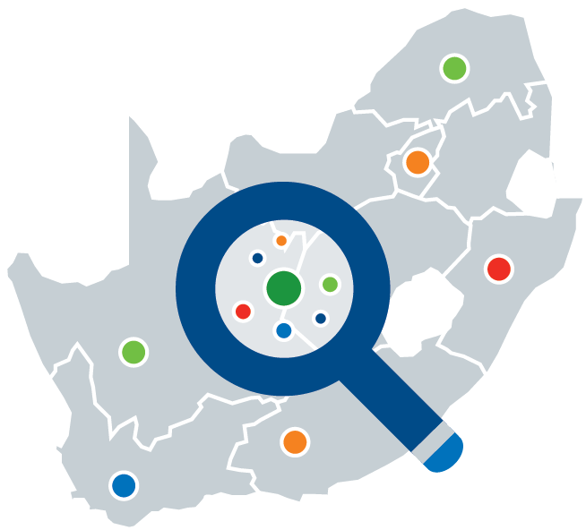
A collection of datasets that cover South Africa administrative levels that includes local municipality, district, and ward boundaries as well major towns.

A collection of datasets that cover South Africa administrative levels that includes local municipality, district, and ward boundaries as well major towns.

Data from the following collections: ‘L3_NO2’, ‘L3_O3’, ‘L3_CO’, ‘L3_HCHO’, ‘L3_AER_AI’, ‘L3_SO2’, ‘L3_CH4’, ‘L3_CLOUD’