Spatial Data
Supporting Datasets
View and download datasets not published in SARVA but openly available through other repositories or tools
View and download datasets not published in SARVA but openly available through other repositories or tools

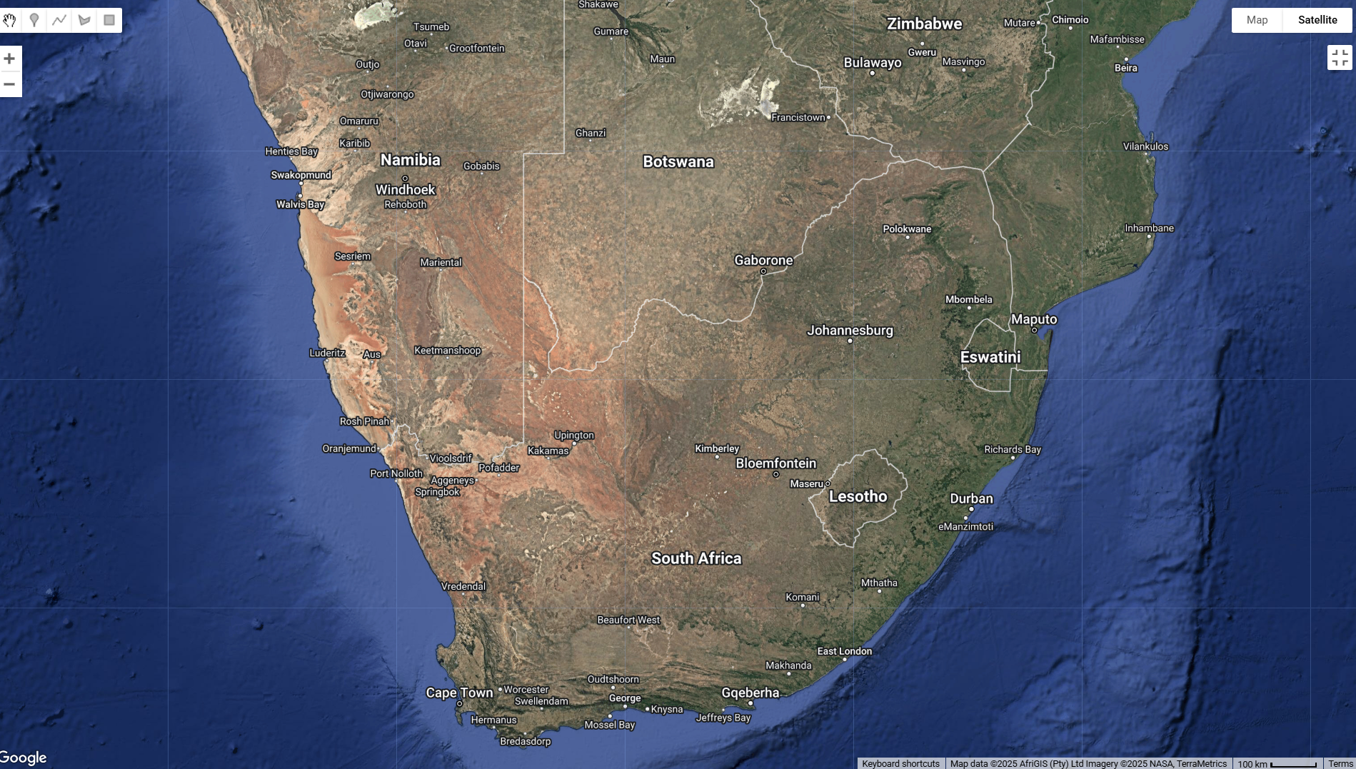
A collection of datasets that cover South Africa administrative levels that includes local municipality, district, and ward boundaries as well major towns.

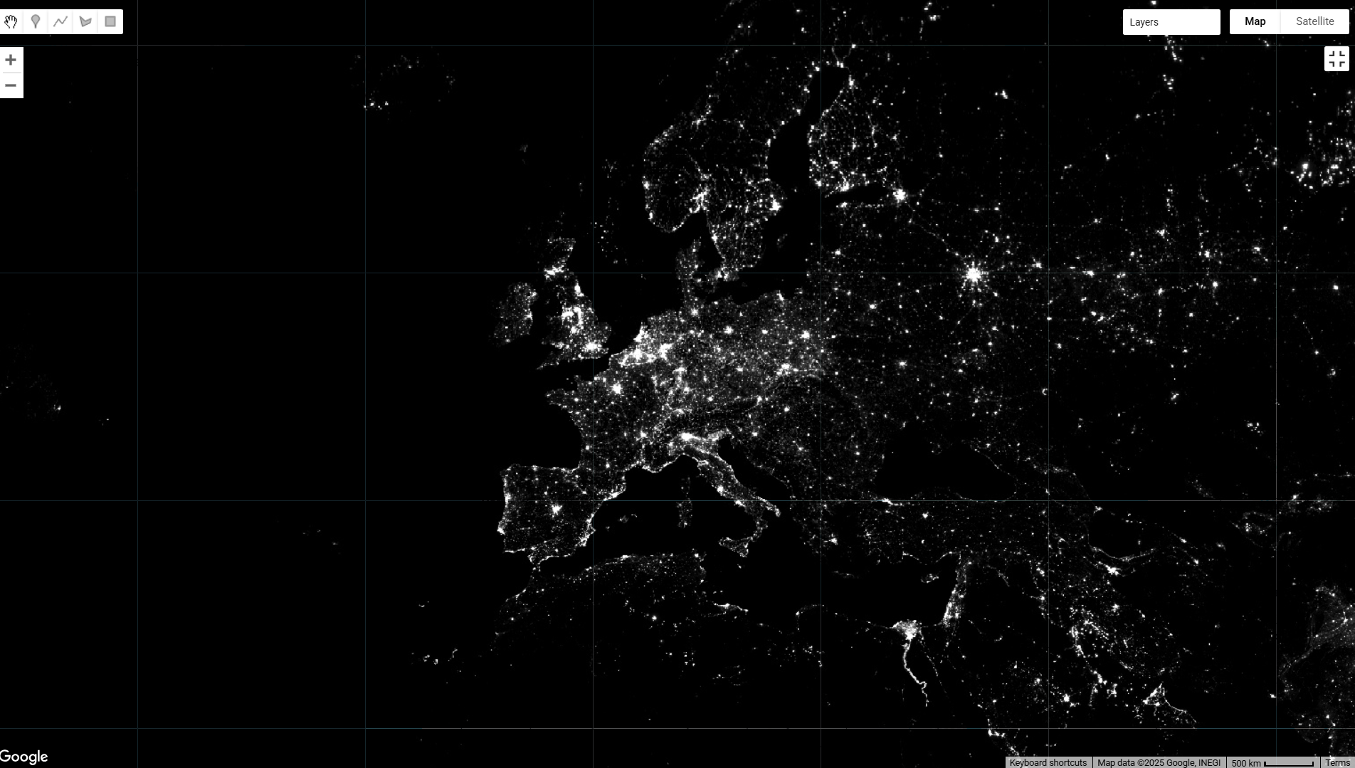
Nighttime Light Intensity is a dataset that reflects economic activity by measuring the intensity of artificial lights at night. Access it here: NOAA DMSP-OLS Calibrated Lights V4
